|
|
Jan 06, 2008
 Tap
Mun Tap
Mun
塔門
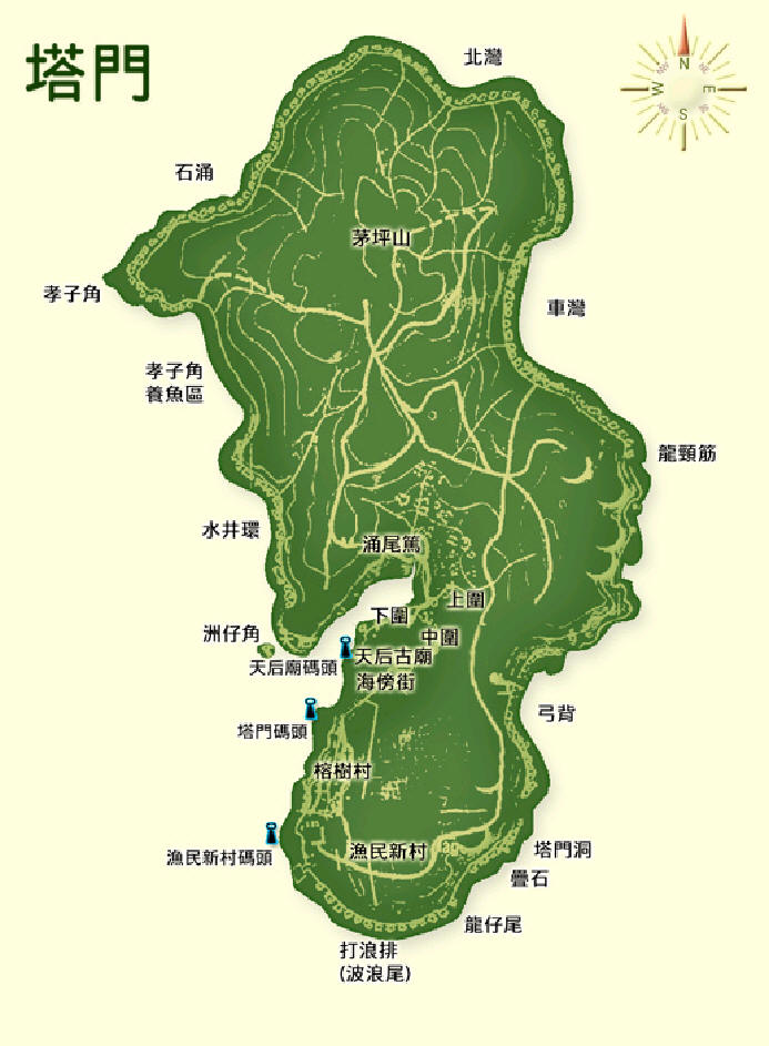
Tap Mun, or
Tap Mun Chau in full name, is one of the islands at the far east of Hong Kong.
The name (in Chinese "Tap" means pagoda and "Mun" means door) was given because
of the many large rocks lying along the costal line, emulating many pagodas
guarding the water entrance to the Hong Kong territories. The island is
relatively small with area less than 2 square kilometers. It is flat also. At
the hilltop of Mau Ping Shan, the highest point of the island is only 125 meters
above sea level. Because of the short and easy routs, it is an idea place for
family hiking.
塔門
,英文名為草洲(Grass-Island),位於赤門海峽吐露港之北,由大學站乘街渡一小時航程即可抵達。每天上午八時半及下午三時正開出,或可由西貢乘九巴至黃石碼頭,再轉乘每小時一班的街渡前往。塔門是一小島,四面環山合抱,形成南面有一水深灣港,每當冬季,強烈北風吹來,海面刮起白頭浪,而灣內依然風浪平靜,一向以來,漁船都愛在此處停泊。在五十至六十年代時最為繁盛,不下幾百艘漁船聚集,島上熙來攘往,好不熱鬧,商店食館林立,其門如市,一片繁榮景象。
|
Video
Tap Mun 塔門
Tap Mun, an island I have never been
to, is beautiful! It's although very small and literally full of bull shit
(real droppings of cows), it's an ideal place for camping. We really are
going to plan for one in the near future......
|
 |
 |
Album
Garro & Friends
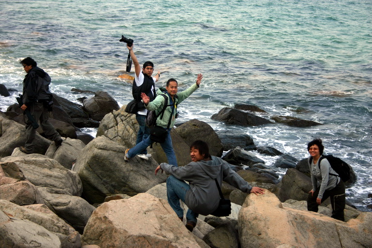
We were a team of 8 people this
time. Check this out. The rocks and people were beautiful!
|
|
![]()
![]() website.
website.