|
|
 hristmas hristmas
 iking iking
12/25/2007
 Tung
Peng Chau Tung
Peng Chau
ªF¥¦{
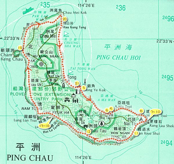
Tung Ping Chau is set in the
east of Mirs Bay, too distant for most Hong Kong maps to show it properly.
The journey there is by
a 1.5-hour ferry ride.
Tung Ping Chau is shaped like
a crescent moon, cradling a sandy beach along the east coast, and with low
cliffs to the west and south.
The whole island of Tung Ping
Chau is made up of very unique stratum. Consequently, layers of red shale or
siltstone with perfect flat beddings, are formed and various strange rock
formations stand majestically on the coastal area.
¡@
|
Video
07 X'mas at Tung Peng Chau
Tung Peng Chau, a miracle of the
nature, is a place we have been wanting to go. Mikael, the expert, knows
the island inside out, was our tour guide. Come in and see our fun in
motion!
|
 |
¡@
 |
Album
Garro & Friends
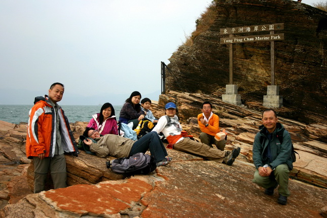
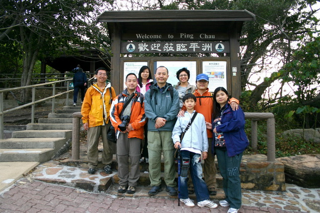
We were a team of 9 people. As
usual, Mikael, Kevin & Milly, Julie and my old schoolmate, Ringo and his family.
Check this out. The rocks and people were beautiful!
|
¡@
|
Album
Beautiful Scenes
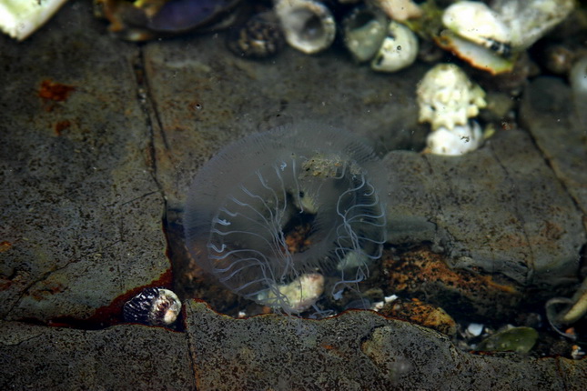
Tung Ping Chau is a lovely island.
It has a lot of sea living animals and the natural scenes are all breathtakingly
beautiful. Xmas was a lovely day and the colors were wonderful. Check this
out....
|
 |
¡@
¡@ |
![]()
![]() website.
website.